

Earthquakes & Tsunamis
Earthquakes are a fact of life in the Pacific Northwest. Constantly evolving science helps us more clearly understand the risks, but one fact that won’t change is this: big quakes have happened here before, and they will again. The only question is when. Getting prepared doesn't need to be difficult, but it is a basic responsibility that all islanders need to embrace.
As in every nearly disaster, the key is to have the ability to be self-sufficient. Once you’re ready for two weeks, aim for a month. Earthquakes are the biggest preparedness challenge the islands face. Building a culture of self-sufficiency and common sense is critical. It doesn’t need to overwhelm us, but we do need to spend a bit of time each year thinking about how our homes, workplaces, and communities would be impacted by a major quake and the possible resulting tsunami - and what we need to be doing now to prepare.
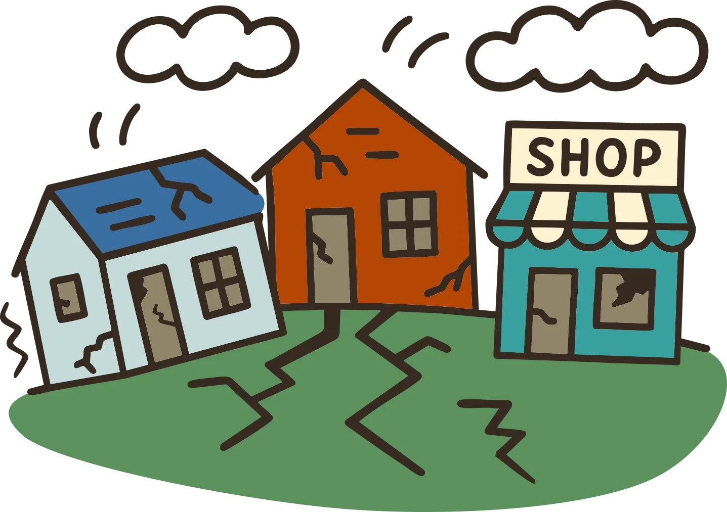
What We’re Preparing For
There are two main earthquake threats that impact the islands:
A Cascadia 9.0 scenario—a massive offshore event (magnitude 9.0+) that could shake the entire Pacific Northwest. A Cascadia quake would be long, violent, and followed by a regional disaster: ferry disruptions, fuel shortages, power outages, and overwhelmed emergency systems.
A local fault quake, most likely on the Devil’s Mountain Fault, which runs from the Cascades to the San Juan Islands. A major local fault quake would be smaller but would still cause serious damage and trigger numerous local infrastructure failures.
Both local quake scenarios have the potential to cause tsunamis. The Cascadia quake scenario is much better understood at this point. Risk to the islands is real, but is confined to specific vulnerable locations. Take a look at these tusnami maps or this animated tsunami model for more info.
We worry much less about tsunamis from distant quakes we don’t feel—like those from Alaska. In those cases, we’d have hours of warning and time to alert specific areas. The biggest tsunami threat here is from a strong quake we feel ourselves—that’s your signal to head to higher ground.
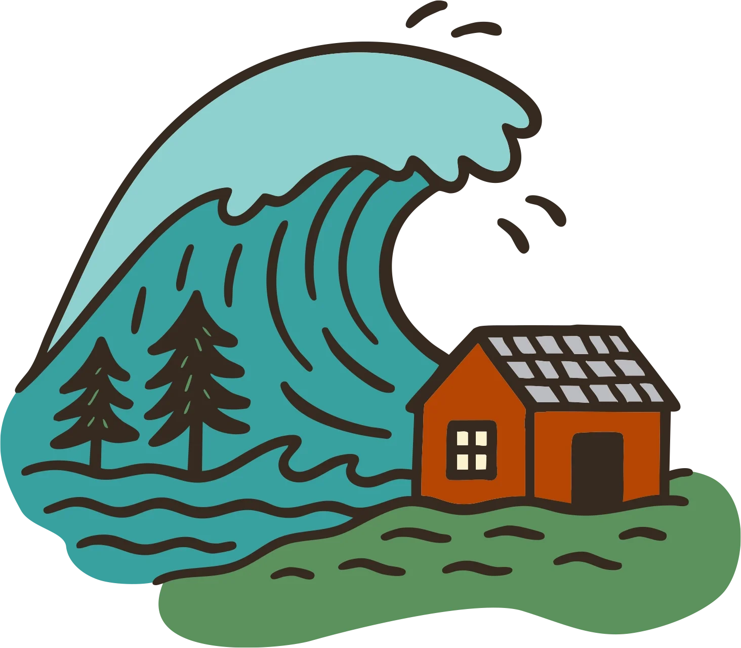
Earthquake Risk on the Islands
Buildings built on or near bedrock, and newer wood-frame homes, tend to perform reasonably well in earthquakes. We will see damage—especially to unreinforced structures, chimneys, and unsecured items—but we’re in better shape than many locations, especially those built on looser soils.
The biggest impact is what happens after:
Communications will likely go down
Power could be out for weeks or months
Fuel will be scarce
Ferries may stop running
Access to advanced medical care may be limited
Help could take days—or more likely weeks—to reach the islands
What to Do During a Quake
Get under a table or desk, or stay low next to a wall. Cover your head and neck.
Wait until the shaking stops, then check on others nearby.
Be ready for aftershocks.
Want to know what to do when a quake hits? See what the students at the Shaw Island School have to recommend in this short 2018 award-winning video!
What to Do After the Shaking
If you’re on low lying coastline or in a known tsunami zone and the shaking was long or strong:
Don’t wait. Move immediately to high ground. In the islands, just getting to 30 feet or so above sea level will get you out of harm’s way.
High ground is never far in the islands. You don’t need to run—just move with purpose.
This is your built-in tsunami warning system: if you feel a major earthquake, assume a tsunami may follow.
Most tsunami models suggest at least 45 minutes of lead time before a wave could reach the islands. That’s enough time to reach safety—if you don’t wait.
Stay off the beach until officials say it’s safe. Multiple waves may arrive, sometimes over many hours.
Frequently Asked Questions about Earthquakes
-
The Pacific NW is a geologically active area and earthquakes are a part of life here. They are more infrequent than in some other parts of the world (California for instance), but when they do happen here, they are every bit as damaging and in some cases more so. During any given year, the risk of a quake is low, but the chance of a major quake happening in the future is 100%. It's a hard thing to quantify, but it's been said that someone born today has a 50% chance of experiencing a major Pacific NW quake in their lifetime. While it is important to understand the underlying geology and to attempt to quantify the specific risks we face, the reality is this: quakes will happen here, and we need to prepare. You can learn more about the basic geology and types of quakes the Pacific NW faces by clicking HERE.
-
There are two possibilities: One is a subduction zone quake (aka “Cascadia” or “The Big One”). These occur every 300-600 years (last one in 1700) and are capable of generating a 9.0+ quake and a major tsunami. The 2011 Japan quake and 2004 Indonesia quake were subduction zone quakes. This quake would cause major damage throughout the PNW. Large sections of the outer coast would be devastated by the tsunami, and a smaller but still damaging tsunami within the islands is likely. There would likely not be widespread destruction of homes and businesses in the islands, but there would be lots of damage, and certainly we would be without ferries, power, phone, internet for an extended period of time. Highways and briges on the mainland would be severely damaged. Food and fuel supply would become very limited. Click HERE for a report that details impacts of a subduction zone quake in the Pacific NW.
The second possibility is a localized fault generating a large quake. The damage would be more limited and would not affect all of the Northwest, but those near the epicenter could expect significant damage. There are several faults near the islands that could cause a 7.0 or large quake. Click HERE to view a summary report of what a 7.4 quake on the Devil's Mountain Fault might look like. -
Absolutely. There are a number of ways in which we’re relatively better off than some of our neighbors. For example:
Bedrock is good for reducing damage from quakes. It doesn’t liquefy and tends to dampen the motion. Loose unconsolidated soils like those found on river deltas do the opposite. Fortunately for us in the islands, we have lots of rock, and relatively few areas with lots of loose soils.
Single family wood frame construction tends to do well in earthquakes. Larger concrete or masonry construction- particularly if the building is older tend to suffer. Again, here in the islands we have much of the former, and not much of the latter. Click HERE for a handy guide with lots of info about building resilience and retrofitting of older homes. -
The main piece of bad news is that eventually we’ll experience a major quake here and our geographic isolation will mean we’re going to be on our own. That quake will impact us locally, but much of the real devastation will happen on the mainland, effectively cutting us off from the rest of the world, and also ensuring that we’re going to be on our own for some time before help arrives. Much of the I-5 corridor could be knocked out, the city of Seattle could be impacted, and the marine, rail, air, and highway links our economy is so dependent on may be severely impacted. Ferries could be out of operation, and resources to help out affected areas may be focused on more populated areas first. All of this points to the need to be prepared to take care of ourselves for at least a week, and ideally longer.
Lack of fuel, food, power, and communications technology will cause obvious inconveniences. The challenges that come from not having ferries will only make things more difficult. While it is unlikely that there will be widespread destruction of houses, there will be some fires, and some older buildings may fail. If there is a tsunami, there will be extensive damage to waterfront and low bank infrastructure and residences.
-
We're aware of the Devil's Mountain Fault that runs through the north end of Whidbey island and out just south of Lopez and San Juan Islands. We don’t know for sure of others, but the best answer is that more are likely to exist. New crustal faults are being mapped all of the time in the Northwest. Much of this work has been focused on faults near cities, but in the years to come, most seismologists expect that a wide ranging network of faults will be found, including some that directly impact the San Juans.
The Devil’s Mountain fault complex is a series of associated faults that stretch from the Cascades through Whidbey Island and NW towards Victoria. While this fault does not cross the islands, it is close enough that it’s impact would certainly be felt here. This fault is capable of generating a major quake, up to 7.5, and there is some indication that it has the potential to generate a local tsunami. Again, the important thing is for us to know that quakes are possible, and that our knowledge of the specific risks is still very much incomplete.
-
The most important thing is to be self-sufficient for at least two weeks, and ideally longer. If you have questions, please don’t hesitate to contact us at 360-370-7612 or brendanc@sanjuancountywa.gov.
Frequently Asked Questions about Tsunamis
-
The short answer is yes. We live in earthquake country, and earthquakes can (but don't always) cause tsunamis. Tsunamis are rare and understanding and modelling the specifics of tsunami impacts is difficult, and very much an evolving science. However, there is ample evidence that in the event of a large earthquake on the subduction zone located off of the outer Washington coast, San Juan County could expect a tsunami anywhere from 45 to 90 minutes later. Recently scientists have begun using high-powered computers to model various seismic events and the resulting tsunamis. Tsunamis are drastically affected by bathymetry, topography, and geography. According to the latest models, much of the shoreline of the islands will be unimpacted, but in some spots the waters will reach a height of 10 feet above mean high tide, and potentially a height of 20 feet in a few high risk areas. In most cases a tsunami is not so much a breaking wave, but rather a sudden and fast moving tidal surge (hence the name tidal wave). Picture a vastly amplified tide coming in over the course of minutes not hours.
Take a look at the online tool that models what a Cascadia subduction zone quake would look like: San Juan County GIS Tsuanmi Info. The science behind this model was done by WA DNR and NOAA.
In addition this is an animated model of what a subduction zone induced tsunami could look like and gives a good sense of how a tsunami might behave in terms of timing and the repeated surges. Note that this model does not give a good prediction for height of actual surge over land- that information is best gleaned from the inundation map model linked above.
There are two other potential tsunami scenarios as well: It is possible that a quake centered within the Puget Sound region could generate a tsunami that would arrive much sooner and be much bigger. Main thing of course is to head to high ground at the first sign of a major earthquake.
There is also the remote risk that a major quake in the Aleutian Islands of Alaska could generate a quake that would affect the inland waters of the San Juans. Most likely the damage would be limited to docks and marinas. This is the only scenario in which scientists are predicting damage here from a distant quake, and there would be a number of hours in which to get the word out to impacted areas.
-
If you live in the San Juan Islands, you can view our online mapping tool to view risks in the islands. This tool has been built based on modelling work done by NOAA and WA State DNR. For locations in WA, but outside of San Juan County, please view the maps made by WA State DNR.
-
Due to the scale of the model and inconsistencies in data sets, the way the model results appear on the map is less than perfect. Unfortunately, you have to use your imagination a bit. If an area shows inundation, count on the impacts connecting to the shoreline. You have to use a bit of common sense for sure... and remember, this is not a tool that is intended to make micro level decisions about risk- but is more intended to help people understand if a given beach, neighborhood, cove, etc. is liable to experience tsunami impacts. Bottom line, areas that have some inundation predicted anywhere nearby should be evacuated, and even those areas on the water that are forecast to have no impact should still be vacated following a large quake. Better safe than sorry.
-
Not at all. The online tool forecasts surge over land. For infrastructure that is actually in the water, even just the current speeds can be a major concern. All harbors and tsunamis are different, and impacts vary widely, but take a look at this video from Santa Cruz, CA after the 2011 Japan quake to get a sense of why you want to not be anywhere near the water, regardless of what the models say. WA DNR has done modeling of potential current speeds, and found large areas with potential current velocities more than 9 knots above normal currents, and in some cases upwards of 15 knots or more. This model video gives a good idea of potential current impacts. The Port of Bellingham conducted a detailed analysis of both risks and potential mitigation strategies to port infrastructure. All marina operators in the islands should carefully review the final report, as the lessons discussed are identical to those faced by island marinas. If you live on your boat, we'd highly recommend getting an EAS equipped weather radio so you can hear the tusnami warning if you don't feel the quake.
-
Many areas of the islands are predicted to emerge from a tsunami unscathed (this is good news!). Tsunami impacts are strongly affected by bathymetry and topography- and most of the island shoreline is not affected. That said, no matter where you are after a big quake, it's a good idea to remove yourself from the shoreline until you are sure that there won't be any impacts. This is only a model, based on our best guess and current science- we all know that mother nature has a way of surprising us on a nearly constant basis. And even places that won't see a large run up in water levels may still see extremely strong currents. Docks, marinas, and vessels in the water often see significant damage due to the current, even without the actual "wave". Take a look at this video from Crescent City, CA after the 2011 Japan quake to see what sort of impact a tsunami can have with high current velocity alone.
-
There are a few key things everyone should be aware of:
Your tsunami warning is a major earthquake. If there’s a big quake, go to high ground and get away from low bank waterfront, docks, beaches, etc. Head uphill and try to get at least 30’ above the water, but going higher certainly isn’t a bad idea. There are no sirens in San Juan County, and don't count on other forms of technology. Use common sense and caution and head to high ground if you feel a major quake. Stay high until 4 or more hours have passed or you have other confirmation that there's no tsunami (this is where a hand held radio can come in handy).
If you see the ocean behaving in a strange way, head to high ground. The tide going out, unusual currents, or other odd ocean behavior could be the first sign of a tsunami.
Remember, the first surge is often not the biggest. Don’t go back to low ground anytime soon. Tsunami impacts can continue for 12 hours or more after the first effects.
Getting your boat out of the harbor to prevent damage is a bad idea (again, take a look at this video to get a sense of current speed). While that has worked on the outer coast, where deep open water is close at hand, the complexity of island waters will make for highly unpredictable impacts and current speeds approaching 15 knots or more. Be safe, and head to high ground.
-
The inundation modelling is based on a specific Cascadia subduction zone quake, a 9.0. Specifically, WA DNR and NOAA used the L1 scenario from this simulation. There are certainly other possible situations that would create a tsunami, but this one is a good starting point for understanding risk.
-
In the most likely scenario the first wave will arrive in the islands about 45 minutes after the quake. That said, in a more local quake, the wave could arrive much sooner. The main goal is to head to high ground as soon as you feel a large quake.
-
When you feel a large earthquake, that is your warning. Those living on boats, sound sleepers, or others living in a tsunami hazard zone may want to consider purchasing a NOAA Weather Alert Radio with SAME techonology. These radios will pick up the tsunami alert and make a loud tone to notify you of the hazard. Keep in mind though that these are pieces of technology dependent on communications systems to operate- and may fail in the event of a major quake - feeling the big earthquake is still your best alerting system.
-
There are a number of reasons, but the primary reason is that we will feel the earthquake, and that is the single most effective and reliable form of notification we could ever ask for. We'll also likely have plenty of time to calmly head to high ground before the surge arrives. Unlike the outer coast, tsunamis from distant, unfelt quakes are a remote risk. It's also true that we would need a large number of them to cover the islands, and the sirens cost upwards of $100K each, are somewhat expensive to maintain, and have had some issues with false alerts over the years. They depend on infrastructure to operate that could possibly be knocked out by the quake itself, and there is some concern that they can promote an over reliance on technology (i.e. if people feel a huge quake, but don't hear the siren, they'll stay near the water, assuming it's safe). For all of these reasons, we think the simplest, most reliable, most affordable, and best common sense solution is to get all islanders aware of the fact that if they feel a quake, they should head to high ground.
-
Standard home owner's insurance doesn't cover damage caused by either an earthquake or a flood (for insurance purposes, a tsunami is considered a flood). Both flood and quake insurance are separate policies that you can add to your home owner's coverage. Talk to your insurance agent and have them walk you through the complex cost/benefit equation that can help you decide whether or not to add to your existing policy. There’s more info on the WA Office of the Insurance Commissioner HERE.
-
The initial modelling was done by scientists at the Washington State Department of Natural Resources (DNR) and the National Oceanic and Atmospheric Administration (NOAA)
-
There are no regulations in San Juan County controlling development in a tsunami hazard zone. In those jurisdictions in the U.S. where there are restrictions, the only limit is to prevent the building of schools, hospitals, fire stations, and other critical public facilities.
-
In the most likely scenario, San Juan County will have plenty of warning (due to the large quake we feel) before a tsunami in the form of an extremely large earthquake. This gives us time to pack up families, pets, and valuables and head away from the shore. The danger from tsunamis comes from rapidly rising water, as well as fast moving debris entrapped in the flow (boats, docks, driftwood logs, and other items become potentially devastating battering rams). It is important that once you leave, you stay high until you are sure that the threat has passed (after a large earthquake, repeated tsunamis are possible over the span of up to 24 hours). Tune in to your local media or your EAS radio for updates.
If people are educated and aware of the risk and make prudent common sense choices, there is no reason for anyone to be harmed in a tsunami in San Juan County.
Remember though that just because you survived the tsunami, our challenges aren't over. The islands are likely to be cut off from mainland food and fuel supplies for weeks. Advanced medical care options on the mainland will be limited and ferry service may be shut down or extremely limited. Island water and septic systems may be damaged or non-operational. Power, phone, and internet service may be extremely limited or shut down completely. In short, doing everything you can to prepare you, your family, and you community for being completely self-sufficient for 14 days is absolutely critical. Once you’re ready for 14 days, aim for a month.
-
The highest priority is to protect yourself and your family. After a large earthquake, act as though a tsunami is coming and move to higher ground. Equip yourself with an EAS radio in order to hear tsunami warnings. To mitigate damage to your home, the first thing to do understand the risk. If you're building in a hazard zone, work with engineers to mitigate against damage. For waterfront infrastructure, in general, the higher the pilings of any floating dock in the hazard zone extend above mean high tide, the better- enabling the piers to float up with the level of the tsunami and avoiding the release of boats and docks as debris. A tsunami is a relatively rare but massive event; the priority is always to protect lives over property.
-
When it comes to tsunamis, we have a number of pieces of good news. One is that we’ll feel the quake that causes our tsunami. Communities on the outer coast can be impacted by tsunamis that come from far away, so they won’t know it is coming. A second advantage of the islands is that high ground is never far away. Getting to an elevation that is at least 30 feet above the high tide would get us out of the reach of all but the most extreme of tsunamis, and that’s never hard to do in the islands. Thirdly, the size of the surge here is forecast to be much less (20 feet max) in most situations, and that's much less than some other communities are facing. There are also a number of locations in the islands that are predicted to be unscathed by any tsunami impacts.
The final piece of good news is that we’re a resourceful, resilient, and common-sensical community where people tend to be good at taking care of themselves and each other. This is critical following an emergency, especially when residents have taken steps ahead of time to prepare (as is the case with many islanders).
-
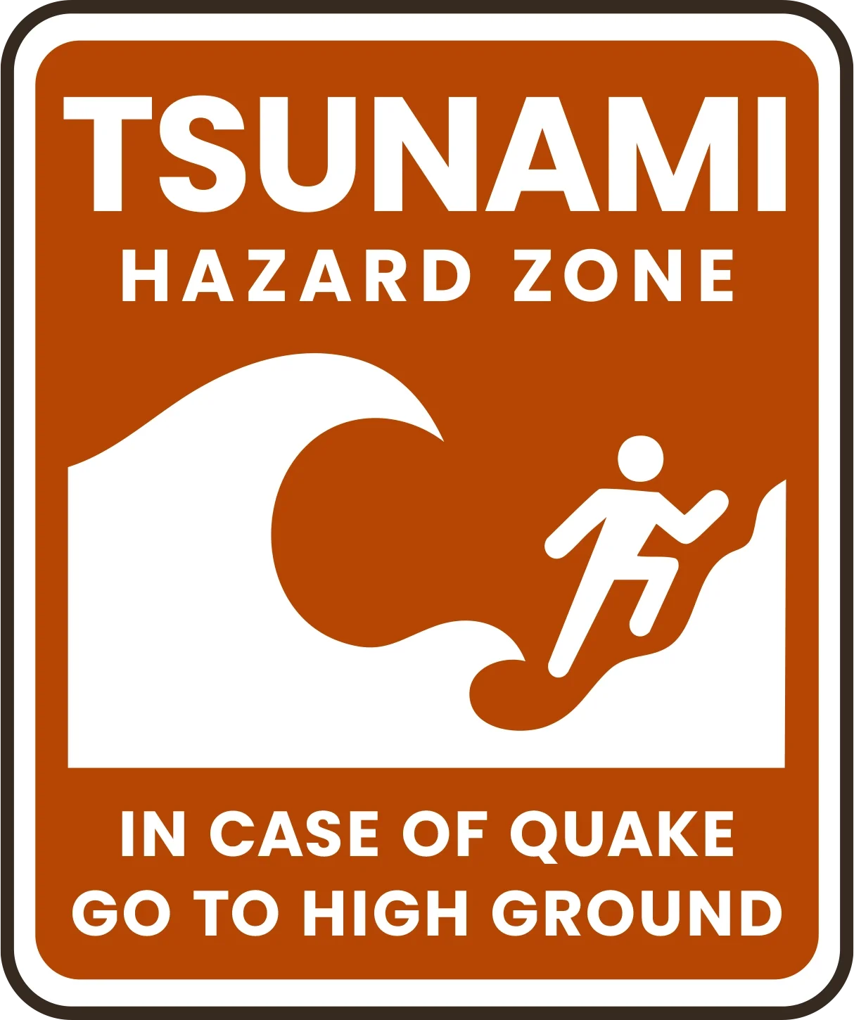
Yes, please- that would be great. And we're happy to help. Ideally public places in high risk zones would feature signs that look something like this.
Contact us to help figure out how to get signs and how best to mount them so they don't disappear. A number of locations in the County already have these signs posted, including Ports, County Parks, and State Parks. There are a number of spots that would benefit from them that have yet to be signed though.
Island Risks
Disasters look different on the islands. Ferries stop running. Help may take days. These are the five scenarios most likely to affect us here. Each one has its own challenges—and its own game plan.
Learn what to expect and how to prepare.
Earthquakes &
Tsunamis
The islands sit near a major fault line. When the ground shakes, communications may go down and ferry service could be disrupted for weeks.
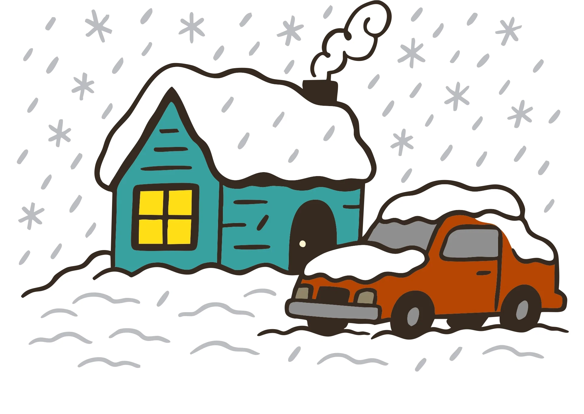
Winter Storms
High winds and heavy snow can knock out power, block roads, and isolate communities. Make sure your home—and your neighborhood—can ride it out.
Oil Spills
A spill in local waters could affect drinking water, beaches, wildlife, and air quality. Learn what to watch for and what to do if it happens.
Health Crisis
Pandemics, smoke events, and contaminated water supplies can all hit fast and spread wide. Know how to stay informed, reduce risk, and support each other.
Wildland Fires
Wildfire risk is growing every year. Evacuation routes are limited, and resources are spread thin. Preparation starts with your home—and your street.